Early maps of the New World stand as remarkable artifacts, capturing the ambitions, misconceptions, and evolving knowledge of explorers and mapmakers from the fifteenth to the eighteenth centuries. These maps not only charted unfamiliar coastlines and territories but also reflected the shifting political, economic, and cultural landscapes of their times. By examining these cartographic records, we gain insight into how Europeans perceived the Americas, how indigenous lands were interpreted or misrepresented, and how global navigation and trade routes developed. The interplay between myth, speculation, and empirical observation in these early maps continues to fascinate historians and collectors alike, revealing much about the worldviews that shaped the Age of Discovery.
The Dawn of Cartography in the New World
The earliest European maps of the Americas emerged in the wake of Christopher Columbus’s voyages at the end of the fifteenth century. Prior to this period, European cartography was dominated by Ptolemaic models that placed Jerusalem at the center of the world and depicted only three continents: Europe, Asia, and Africa. The sudden appearance of new lands across the Atlantic forced mapmakers to reconsider established geographic knowledge.
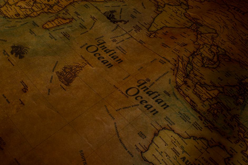
One of the most influential early maps was the 1507 Waldseemüller map, which is credited with first using the name “America” to label the newly discovered continent. This map combined information from Columbus’s journeys with accounts from Amerigo Vespucci, resulting in a depiction that separated North and South America from Asia, a significant departure from earlier representations. The Waldseemüller map’s impact was profound, shaping European understanding of global geography for decades.
As exploration continued, mapmakers began to incorporate new data from expeditions along the coasts of Central and South America. The Cantino Planisphere (1502) and the Juan de la Cosa map (1500) are other notable examples from this era, each offering a unique perspective shaped by their creators’ access to navigational reports and political motivations.
| Map Name | Year | Significance |
|---|---|---|
| Waldseemüller Map | 1507 | First use of “America”; separated Americas from Asia |
| Cantino Planisphere | 1502 | Earliest surviving map showing Portuguese discoveries |
| Juan de la Cosa Map | 1500 | Drawn by Columbus’s pilot; earliest known map to show Americas |
Myth, Imagination, and Error in Early Mapping
Early cartographers often relied on secondhand reports, hearsay, and a fair amount of imagination when drawing unknown territories. This led to persistent myths and errors on maps that would endure for generations. For example, many sixteenth-century maps depicted a massive southern continent called Terra Australis Incognita, believed necessary to balance the landmasses of the north. Similarly, the Northwest Passage (a supposed sea route through North America to Asia) appeared on maps long before any explorer could confirm or deny its existence.
These inaccuracies were not simply mistakes; they reflected the hopes and ambitions of European powers seeking new trade routes and resources. The inclusion of mythical places like El Dorado or the Seven Cities of Gold further illustrates how cartography was shaped by both fact and fantasy. Over time, as explorers charted coastlines and ventured inland, some errors were corrected while others persisted due to political or economic interests.
One personal observation from studying early maps is how even prominent cartographers such as Gerardus Mercator sometimes perpetuated errors for decades. Mercator’s 1569 world map famously exaggerated Greenland’s size, a distortion that lingered in atlases well into the twentieth century. Such examples highlight how difficult it was to separate reliable information from speculation during this formative period in mapping.
The Role of Indigenous Knowledge and Local Perspectives
While European explorers and mapmakers are often credited with “discovering” and mapping the Americas, indigenous peoples had long-established systems for representing their territories. These included pictorial codices, oral traditions, and symbolic representations that conveyed detailed knowledge about landscapes, resources, and boundaries.
Some early European maps incorporated indigenous information, sometimes accurately, sometimes filtered through misunderstandings or biases. The 1524 map by Giovanni da Verrazzano, for instance, included details about native settlements along the Atlantic coast based on firsthand encounters. Spanish conquistadors also relied on indigenous guides and interpreters when mapping regions such as Mexico and Peru.
Despite these contributions, European cartographers often imposed their own frameworks onto indigenous lands, erasing or distorting local place names and spatial relationships. This process reflected broader patterns of colonization and cultural dominance, with maps serving as tools for claiming territory as much as for navigation or exploration.
Political Power and Propaganda in Cartography
Maps were not neutral documents; they were powerful instruments of political ambition and propaganda. Monarchs commissioned elaborate maps to assert claims over distant lands, justify colonial ventures, or impress rival courts. The decorative elements found on many early New World maps (such as royal coats of arms, allegorical figures, or scenes of conquest) reinforced these messages visually.
The Treaty of Tordesillas (1494), which divided newly discovered lands outside Europe between Spain and Portugal along a meridian 370 leagues west of the Cape Verde islands, had a profound impact on mapmaking. Cartographers were tasked with depicting these boundaries according to shifting diplomatic agreements, leading to disputes over accuracy and interpretation.
In England, Richard Hakluyt’s promotion of overseas exploration was supported by detailed maps that emphasized English claims in North America. Dutch cartographers like Willem Blaeu produced atlases showcasing Dutch settlements in the Caribbean and along the Hudson River. These examples demonstrate how maps functioned as persuasive tools in international competition for territory and resources.
The Evolution of Mapmaking Techniques
The technical aspects of mapmaking evolved rapidly during this period. Advances in printing technology allowed for wider distribution of maps through woodcuts, engravings, and later copperplate printing. This democratized access to geographic knowledge beyond royal courts or merchant elites.
Cartographers began to use more accurate surveying instruments such as the astrolabe and quadrant, improving latitude measurements at sea. Longitude remained difficult to determine until the invention of reliable marine chronometers in the eighteenth century. As a result, early maps often feature distorted shapes or misplaced features, especially along east-west axes.
The development of projection techniques also shaped how the New World appeared on maps. The Mercator projection (1569) became especially influential for navigation despite its distortions near the poles. Over time, increased exploration and scientific collaboration led to more precise representations of coastlines, rivers, and mountain ranges.
Collecting and Interpreting Early Maps Today
Interest in early New World maps remains strong among historians, collectors, and enthusiasts. Original prints by figures like Ortelius or Hondius command high prices at auction houses and are featured in museum exhibitions worldwide. Digital archives now make many rare maps accessible to a broader audience for study and appreciation.
- Museums such as The British Library and The Library of Congress maintain extensive collections of early American maps.
- Online platforms like loc.gov provide searchable databases with high-resolution images.
- Academic research continues to uncover new insights into how these maps were produced and used.
- Collectors often focus on specific themes such as sea charts, city plans, or indigenous representations.
- Interpretation requires careful attention to context, considering who made a map, for whom, and why.
From a personal perspective, handling an original sixteenth-century map offers a tangible connection to history that digital reproductions cannot fully replicate. The physical qualities (paper texture, ink color, marginal notes) reveal much about a map’s journey through time.
The Lasting Legacy of Early New World Maps
The legacy of early New World cartography extends far beyond its initial practical uses. These maps have shaped collective memory about exploration, colonization, and cultural exchange between Europe and the Americas. They continue to inform debates about historical geography, indigenous rights, and national identity.
Modern scholars approach these artifacts with a critical eye, recognizing both their achievements in expanding human knowledge and their role in supporting imperial ambitions. By comparing multiple sources and perspectives, researchers can reconstruct more nuanced narratives about contact and conflict in the early modern Atlantic world.
Early maps of the New World remain invaluable resources for understanding how people once viewed unfamiliar lands and how those views changed over time. They reveal not only technical progress but also deep-seated beliefs about power, identity, and possibility. Studying these documents encourages us to question inherited assumptions while appreciating the artistry and ingenuity involved in their creation.
As new discoveries continue to shed light on forgotten journeys or overlooked contributors (including indigenous mapmakers) the story told by these early charts grows richer still. Whether displayed in museums or studied online, these maps invite ongoing exploration into our shared past.
References: britannica.com, loc.gov